Orienteering at Highland Road Community Park
Orienteering at Highland Road Community Park
What is Orienteering?
Orienteering: A competitive or recreational activity in which participants use a map or directions to navigate between checkpoints along an unfamiliar course.

Orienteering requires the use of a compass and the ability to pace correct distances. It is recommended that you either bring a compass from home, or use the compass application on your phone. For many newer phones, your phone compass should even offer high levels of accuracy. It is also recommended, though not necessary, that you bring a pencil and small paper. This is for calculating the number of paces needed to travel each distance given on the course.
Below are the directions for traversing the various orienteering courses that have been established here.
Have any questions or comments about this course? Contact the creator at highland.orienteering@gmail.com.
Directions for the Orienteering Courses
‘ = number of feet
° = heading (on a compass, the number of degrees dictating the direction one should travel)
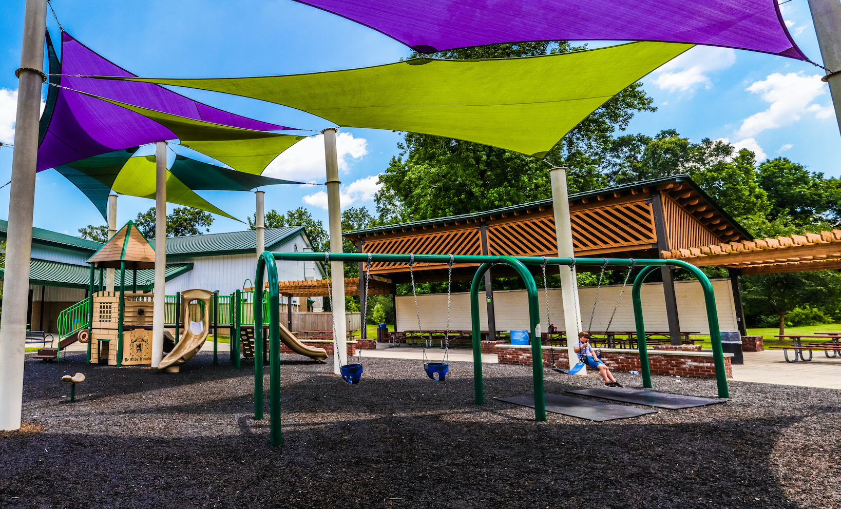
The Point one sign is near the large tree by the tennis courts. To find it, one can head 250° SW from the beginning of the 100’ pacing court (side closest to the BREC Buildings)
Beginner
1. Start at point one, on the side of the tree facing the BREC Building.
| 1-7 | 159° for 279’ |
| 7-6 | 259° for 181’ |
| 6-1 | 14° for 250’ |
2. Start at point one
| 1-4 | 278° for 252’ |
| 4-2 | 127° for 69’ 22° for 252’ |
| 2-1 | 192° for 220’ 121° for 175’ |
3. Start at point one
| 1-4 | 270° for 252’ |
| 4-5 | 265° for 102’ |
| 5-6 | 56° for 36’ 141° for 430' |
| 6-7 | 64° for 181’ |
| 7-1 | 339° for 279’ |
Intermediate
1. Start at point one
| 1-3 | 298° for 363’ 351° for 177’ |
| 3-5 | 214° for 196’ 163° for 120’ |
| 5-6 | 56° for 46’ 141° for 430' |
| 6-9 | 120° for 265’ |
| 9-8 | 31° for 222’ |
2. Start at point one
| 1-4 | 278° for 252’ |
| 4-6 | 142° for 360’ |
| 6-9 | 120° for 265’ |
| 9-12 | 153° for 641’ |
| 12-6 | 322° for 883’ |
| 6-7 | 79° for 181’ |
| 7-1 | 339° for 279’ |
3. Start at point one
| 1-2 | 301° for 175’ 12° for 220’ |
| 2-3 | 210° for 103’ 300° for 185’ |
| 3-5 | 214° for 196’ 163° for 120’ |
| 5-6 | 56° for 36’ 141° for 430' |
| 6-1 | 14° for 254’ |
4. Start at point one
| 1-4 | 278° for 252’ |
| 4-6 | 142° for 360’ |
| 6-9 | 120° for 265’ |
| 9-11 | 141° for 317’ 69° for 190’ |
| 11-6 | 249° for 190’ 311° for 535’ |
| 6-5 | 321° for 430’ 236° for 36' |
| 5-1 | 343° for 120’ 34° for 196’ 171° for 177’ 118° for 363’ |
5. Start at point eight (Large tree near the picnic table)
| 8-9 | 211° for 222’ |
| 9-10 | 132° for 170’ 66° for 78’ 334° for 30’ |
| 10-11 | 154° for 30’ 114° for 200’ |
| 11-9 | 249° for 190’ 321° for 317’ |
| 9-8 | 31° for 222’ |
| 8-1 | 18° for 233’ 100° for 305’ |
Master (for 1 mile, skip Master and go to Scout):
1. Start at point one
| 1-2 | 301° for 175’ 12° for 220’ |
| 2-3 | 210° for 103’ 300° for 185’ |
| 3-5 | 214° for 196’ 163° for 120’ |
| 5-6 | 143° for 430’ |
| 6-9 | 120° for 265’ |
| 9-10 | 132° for 170’ 66° for 78’ 334° for 30’ |
| 10-11 | 154° for 30’ 114° for 200’ |
| 11-9 | 249° for 190’ 321° for 317’ |
| 9-12 | 153° for 641’ |
| 12-6 | 322° for 883’ |
| 6-7 | 79° for 181’ |
| 7-1 | 339° for 279’ |
Scout (1 mile; 5,810 ft)
1. Start at point one
| 1-2 | 301° for 175’ 12° for 220’ |
| 2-3 | 210° for 103’ 300° for 185’ |
| 3-5 | 214° for 196’ 163° for 120’ |
| 5-4 | 85° for 102’ |
| 4-6 | 148° for 360’ |
| 6-1 | 14° for 254’ |
| 1-7 | 159° for 279’ |
| 7-6 | 259° for 181’ |
| 6-9 | 120° for 265’ |
| 9-10 | 132° for 170’ 66° for 78' 334° for 30' |
| 10-11 | 154° for 30’ 114° for 200' |
| 11-9 | 249° for 190’ 321° for 317' |
| 9-12 | 153° for 641’ |
| 12-6 | 322° for 883’ |
| 6-5 | 321° for 430’ 236° for 36' |
| 5-1 | 94° for 365’ |