Amenities
- Ball/Multi-Purpose Field (Lighted)
- Basketball - Indoor Court
- Basketball - Outdoor Court
- Disc Golf Course
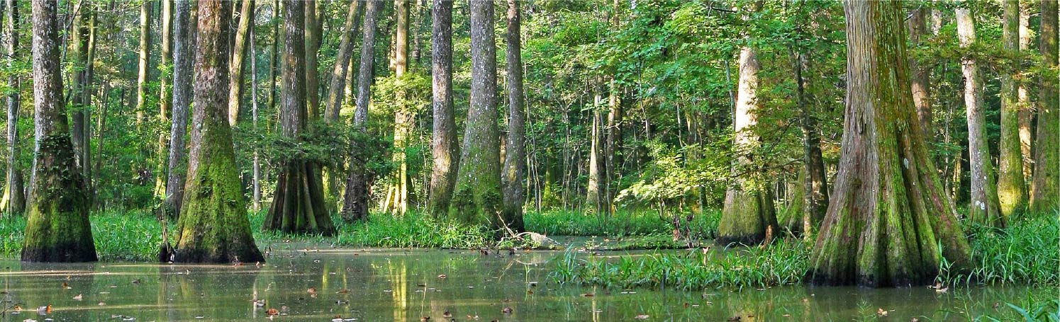
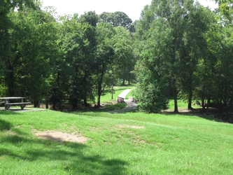
- Nature Trails
- Pavilion
- Playground
- Greenway/Connectivity Trail
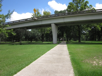
This park is part of the interstate system, which the Louisiana Department of Transportation and Development has leased to BREC for use as a park.
Click Here to sign up to receive updates on the Scotlandville Parkway
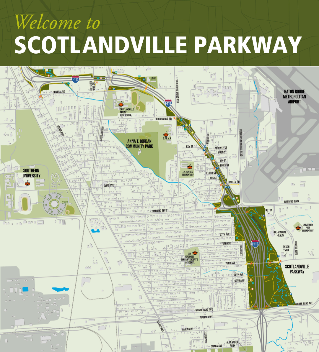
Scotlandville Parkway Greenway
The Scotlandville Parkway, constructed during the 1970s and 80s, has been a tremendous asset under BREC’s management for decades. As part of the 2020 East Baton Rouge Parish Pedestrian and Bicycle Master Plan, the parkway was identified as a key area for restoration due to its potential as a safe and accessible bicycle and pedestrian route. Recognizing the need to enhance its recreational offerings, BREC is spearheading the development of the Scotlandville Parkway Master Plan. This effort is being supported by community partners such as Healthy BR, Community Against Drugs and Violence (CADAV), Front Yard Bikes, Bike Baton Rouge, and Scotland Saturdays, which have been instrumental in gathering public input.
The revitalization plan is informed by both the Pedestrian and Bicycle Master Plan and the Scotlandville Parkway Master Plan, which were developed in collaboration with community leaders and organizations dedicated to preserving the historic area and ensuring the safety of cyclists and pedestrians. Additionally, BREC’s system-wide master plan, Imagine Your Parks 3, is guiding these efforts, with a strong emphasis on equity and inclusion.
BREC has secured three federal funding sources to support the revitalization of the parkway system. These funds will be directed toward significant improvements, including the creation of ADA-accessible multiuse paths, the restoration of bridges to withstand flooding, and enhanced connectivity throughout the community. These upgrades will provide safer transportation alternatives to connect users with key points of interest in the area.
The Scotlandville Parkway master planning process included a thorough evaluation of existing trail routes, bridges, park amenities, structures, and environmental features. Information gathered from public surveys and community feedback helped identify the amenities to be included in the large park area between Airline Highway and Harding Boulevard, as well as the smaller “pocket parks” along the 3-mile parkway route.
Did you know?
- The Scotlandville Parkway is made up of over 100 acres of park land. 134 acres to be exact!
- From start to finish the parkway route is 3 miles long. There are 8 total miles of trails!
- Along the 3-mile parkway route there are many recreational amenities including basketball, tennis, and disc golf.
- The parkway was first designed and built during the 1970s and it was designated a national recreational trail in the 1980s.
- The parkway is located in the interstate 110 right-of-way. The goal of the parkway was to minimize the interstate impact on the community and provide recreational opportunities such as walking and biking.
- BREC, with community partners, are collecting input on how best to restore and upgrade the parkway. This process is called the Scotlandville Parkway Master Plan.
Southern Bluffs Greenway Art Walk
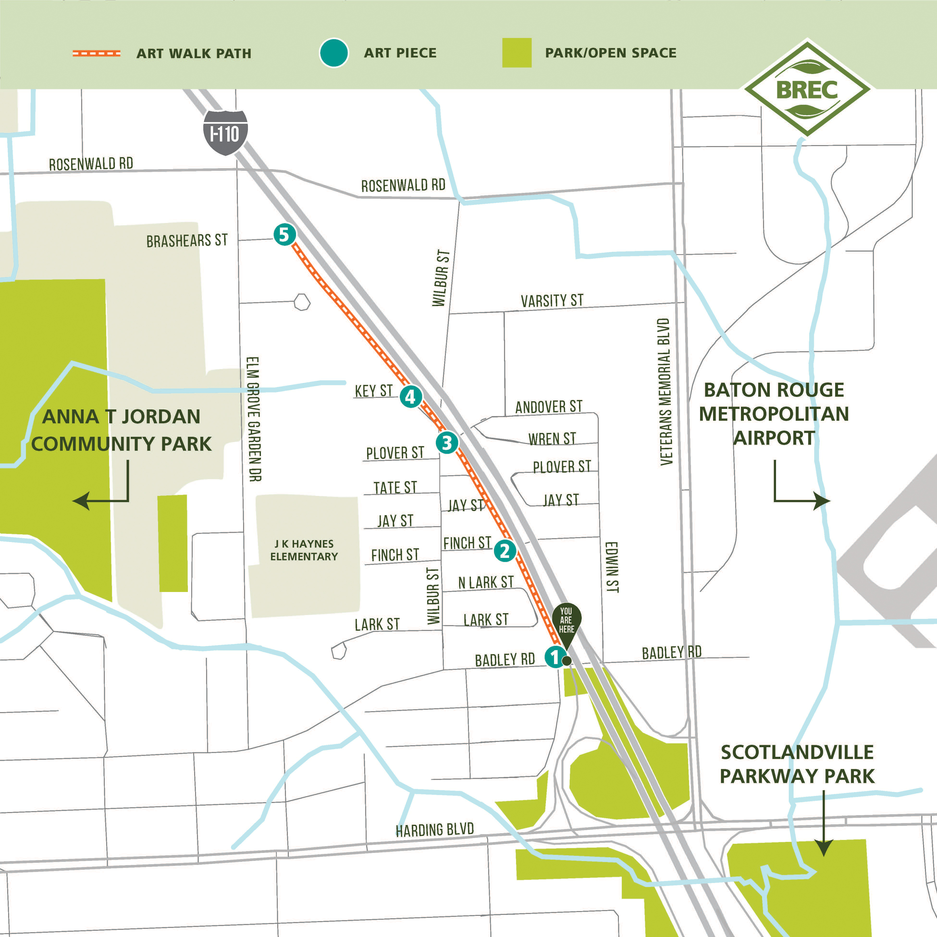
The Southern Bluffs Greenway Art Walk on the Scotlandville Parkway was proudly funded through a grant program through AARP Louisiana and in partnership with the Southern University Archives at the John B. Cade Library. The Southern Bluffs Art Walk is made up of five stops along the Scotlandville Parkway Greenway Trail. Each stop has a unique interpretative art piece that explores the history and culture of Southern University’s presence in the Scotlandville Community. BREC has been working with community leaders, organizations and stakeholders on the revitalization of the Scotlandville Parkway Corridor as part of the Scotlandville Parkway Masterplan.
The Southern Bluffs Art Walk's five locations include; Badley Road, Finch St., and Wilbur St. all under I 110, and at the intersection of Wilbur and Andover Street. The public artwork, along with parkway wayfinding and map signage have been possible through the AARP Community Challenge Grant. Artwork was created in collaboration with the John B. Cade Library and Archives at Southern University and A&M College.
Southern Bluffs Greenway Info:
- Segment length: 2 miles
- Trail closes at dark
- Concrete, paved path; width varies
- Trail difficulty: EASY
- Designed for non-motorized vehicles and
pedestrians only
Scotlandville Heart Trail
A 2.5 mile walking trail designed to offer you a guided tour through the beautiful Scotlandville neighborhood, all while promoting a healthier heart lifestyle. Simply follow the hundreds of unique heart shaped art pieces created by local students and artists to find your way! This trail is located from Jewel J. Newman Center to just south of Rosenwald Rd.
Download Heart Trail Map
Click here to learn more about BREC Greenways
![]()